


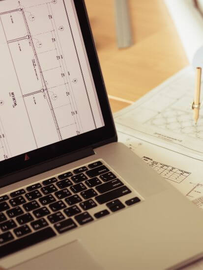
We use advanced structural analysis platforms with 3D static and dynamic analysis, Eurocode-based checks and specialised routines for assessment, strengthening and seismic design. These tools are tuned for complex RC, steel and masonry structures as well as interventions on existing buildings.
سنوات الخبرة
23
منذ عام 2003
يعمل مكتبنا منذ عام 2003 في مجالات دراسة وتنفيذ وإدارة المشاريع الهندسية. يضم سجل الأعمال مشاريع إسكان، وأصولاً تجارية، ومجمعات فندقية، وأعمالاً عامة ومنشآت خاصة. نتعامل مع كل مشروع من خلال تصميم مبني على بيانات، وإدارة منهجية للمخاطر، ودعم فني متواصل للعميل طوال دورة حياة المشروع.
Our Office
For architectural design and project workflow we rely on BIM tools, parametric modelling and photorealistic rendering engines. This allows us to connect plans with the 3D model, detect clashes in services and communicate the final result clearly to private clients, investors and public bodies.
Project management is supported by specialised tools for scheduling, cost control and cash-flow monitoring, with critical-path analysis, scenario planning and reporting to management and funders. We link the programme to technical activities and payment certificates so that every decision is measurable and documented.
For surveys and mapping we use state-of-the-art photogrammetry, LiDAR and mobile mapping (SLAM) technologies combined with GIS tools. This enables dense point clouds, digital terrain models and accurate drawings, even in challenging environments or large-scale infrastructure projects.

Services for banks, investors & public bodies